Wing-borne efficiency delivers far longer endurance and larger coverage per flight than a comparable multirotor
Compliance review
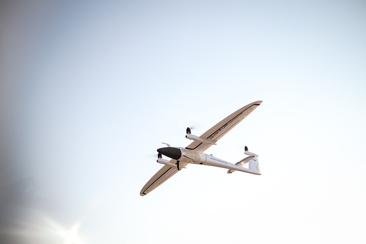
Fixed Wing Uavs
Custom Fixed-Wing UAV (configured to mission)
The BotBit Custom Fixed-Wing UAV is a mission-configured aeroplane-style platform designed for long endurance and large-area coverage.
Price on request
SKU: BOTBIT-SYS-02 · Best for: Large-area topographic and photogrammetric mapping across hundreds or thousands of hectares
Compliance note: This item is reviewed for lawful, authorized use before fulfilment. Final availability depends on regulation, end-use and applicable export controls.
Overview
About Custom Fixed-Wing UAV (configured to mission).
The BotBit Custom Fixed-Wing UAV is a mission-configured aeroplane-style platform designed for long endurance and large-area coverage. Unlike a multirotor, a fixed-wing generates lift from its wing rather than from constantly spinning rotors, so it flies far more efficiently - covering more ground, for longer, on a given energy budget. That makes it the right class when the job is wide-area mapping, linear-asset inspection, long-range aerial monitoring or extended patrol, rather than hover-in-place work. Because it is configured to your brief, wingspan, propulsion, payload and comms are all selected against the coverage and endurance you need.
Every build runs an open, industry-standard flight stack (ArduPilot or PX4 on a Pixhawk/CubePilot-class autopilot) so we can implement autonomous survey grids, corridor mapping, waypoint missions, return-to-home and failsafe logic. For higher-assurance and longer-range roles we specify redundancy - dual/triple IMUs, redundant GNSS and compass, redundant power and independent telemetry - and select launch and recovery methods (hand, bungee or catapult launch; belly or parachute recovery) to suit your operating sites. Payloads include mapping cameras, EO/IR gimbals, thermal, multispectral and, on larger airframes, LiDAR.
It suits mapping and survey firms, pipeline, powerline and rail operators, agricultural and forestry programmes, environmental monitoring teams, and security or research organisations that need to cover distance efficiently. A fixed-wing needs space to launch and recover and cannot hover, so it is chosen deliberately for range and endurance. As a quote/RFQ product, price and lead time follow the agreed specification. In India we help you align the platform to DGCA Drone Rules 2021 - UIN on Digital Sky/eGCA, category-appropriate type certification, Remote Pilot Certificate operation and, where relevant, the BVLOS approvals long-range missions imply.
Key features
Why it stands out.
Ideal for wide-area mapping and linear-asset inspection - pipelines, powerlines, rail, coastlines and boundaries
Configured to mission - wingspan, propulsion, payload and comms sized to your coverage and endurance target
Autonomous survey grids, corridor mapping and failsafes on a proven ArduPilot or PX4 flight stack
Launch/recovery and redundancy options selected for your sites, with India DGCA-aligned compliance guidance
Specifications
Selection facts.
| Platform class | Fixed-wing (aeroplane-style), long-endurance, no hover |
|---|---|
| Configuration | Built to mission - not a fixed spec model |
| Autopilot / flight stack | ArduPilot or PX4 on Pixhawk / CubePilot-class autopilot |
| Payload options | Mapping camera, EO/IR gimbal, thermal, multispectral, LiDAR (larger airframes) |
| Launch / recovery | Hand, bungee or catapult launch; belly or parachute recovery |
| Redundancy options | Dual/triple IMU, redundant GNSS, compass, power and telemetry |
| India compliance | Aligned to DGCA Drone Rules 2021 - UIN, type certification, RPC; BVLOS by approval |
| Commercial model | Quote / RFQ - price and lead time per configuration |
Applications
Where it is used.
- Large-area topographic and photogrammetric mapping across hundreds or thousands of hectares
- Linear-asset inspection of pipelines, powerlines, railways, canals and road corridors
- Agriculture and forestry survey, crop health and land-use monitoring at scale
- Long-endurance aerial monitoring, border/perimeter patrol and situational awareness
- Environmental and disaster monitoring - flood, wildfire and coastal change assessment
- Research, cadastral survey and infrastructure planning requiring efficient wide coverage
Buying guide
How to choose.
Frame your RFQ around coverage and endurance. Tell us the area or corridor length you need to cover in a single sortie, the ground sampling distance or accuracy your mapping requires, the payload (camera, EO/IR, thermal, multispectral or LiDAR), and the range between your ground station and the target. Fixed-wings trade the ability to hover for reach, so knowing your coverage goal is what lets us size the wing and propulsion correctly.
Describe your operating sites and logistics: how much clear space you have for launch and recovery, whether you need catapult or hand launch and parachute recovery, transport and rugged-case requirements, and the environment (altitude, wind, temperature, coastal). If your missions naturally run beyond visual line of sight, flag it early - it shapes comms, redundancy and the regulatory path. Tell us fleet size and any existing ground-control standard so we match your workflow.
For India, we help align the build to DGCA Drone Rules 2021 - UIN registration on Digital Sky/eGCA, the category-appropriate type certification route, and operation under a Remote Pilot Certificate from a DGCA-authorised RPTO. Long-range fixed-wing work often implies BVLOS, which requires specific DGCA approval; we advise on green/yellow/red airspace zones and the additional permissions involved, while airspace clearances remain the operator's responsibility.
FAQ
Common questions.
When should I choose fixed-wing over multirotor?
Choose fixed-wing when the mission is about covering distance efficiently - wide-area mapping, long linear inspections or extended patrol. A wing flies far more efficiently than rotors, delivering much longer endurance and coverage per flight. Choose multirotor instead when you need to hover, hold position or operate in tight spaces.
Why is it quote-based?
A fixed-wing sized for a 200-hectare farm survey differs from one built for hundreds of kilometres of pipeline. Wingspan, propulsion, payload, comms and recovery method are all selected against your coverage and endurance goal, so we quote per configuration rather than list a fixed price. Send your requirements for a scoped quotation.
Does it need a runway?
Not necessarily. Depending on airframe size we configure hand, bungee or catapult launch and belly or parachute recovery, so you can operate from open fields rather than a runway. Tell us how much clear space your sites offer and we'll select a launch and recovery method that fits.
Can it fly beyond visual line of sight?
Long-range fixed-wing missions often push toward BVLOS, and we can configure the platform for it with robust datalinks, redundancy and failsafes. However, BVLOS operation in India requires specific DGCA approval and is not automatic - flag it during scoping so we architect comms and redundancy accordingly.
What are the India compliance requirements?
Operating in the Small category and above needs a UIN on Digital Sky/eGCA, a Remote Pilot Certificate from a DGCA-authorised RPTO, and type certification of the model as applicable under DGCA Drone Rules 2021. We align the build to these; airspace zone permissions and flight clearances remain the operator's responsibility.
What payloads can it carry?
Typically mapping cameras, EO/IR gimbals, thermal and multispectral sensors, and LiDAR on larger airframes. We size the payload bay and airframe to your sensor and endurance target during scoping rather than fitting your sensor to a fixed frame.
More in UAV & UGV Systems
Related hardware.
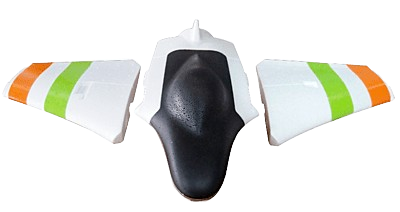
Fixed Wing Vtol Kits
Skywalker X2 Mini FPV Flying Wing (PNP)
The Skywalker X2 Mini FPV is a compact 950mm EPO flying wing supplied in Plug-and-Play (PNP) form, meaning the airframe arrives with the brushless power system, ESC and control servos already installed.
₹9,790 + 18% GST
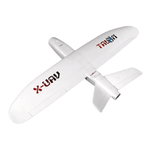
Fixed Wing Vtol Kits
MAPBIRD Evo Mini Talon Pro Kit
The MAPBIRD Evo is a V-tail FPV plane kit built on the proven XUAV Talon / Mini Talon airframe, a 1300mm-class EPO aircraft widely used for long-range FPV and lightweight aerial mapping.
₹16,990 + 18% GST
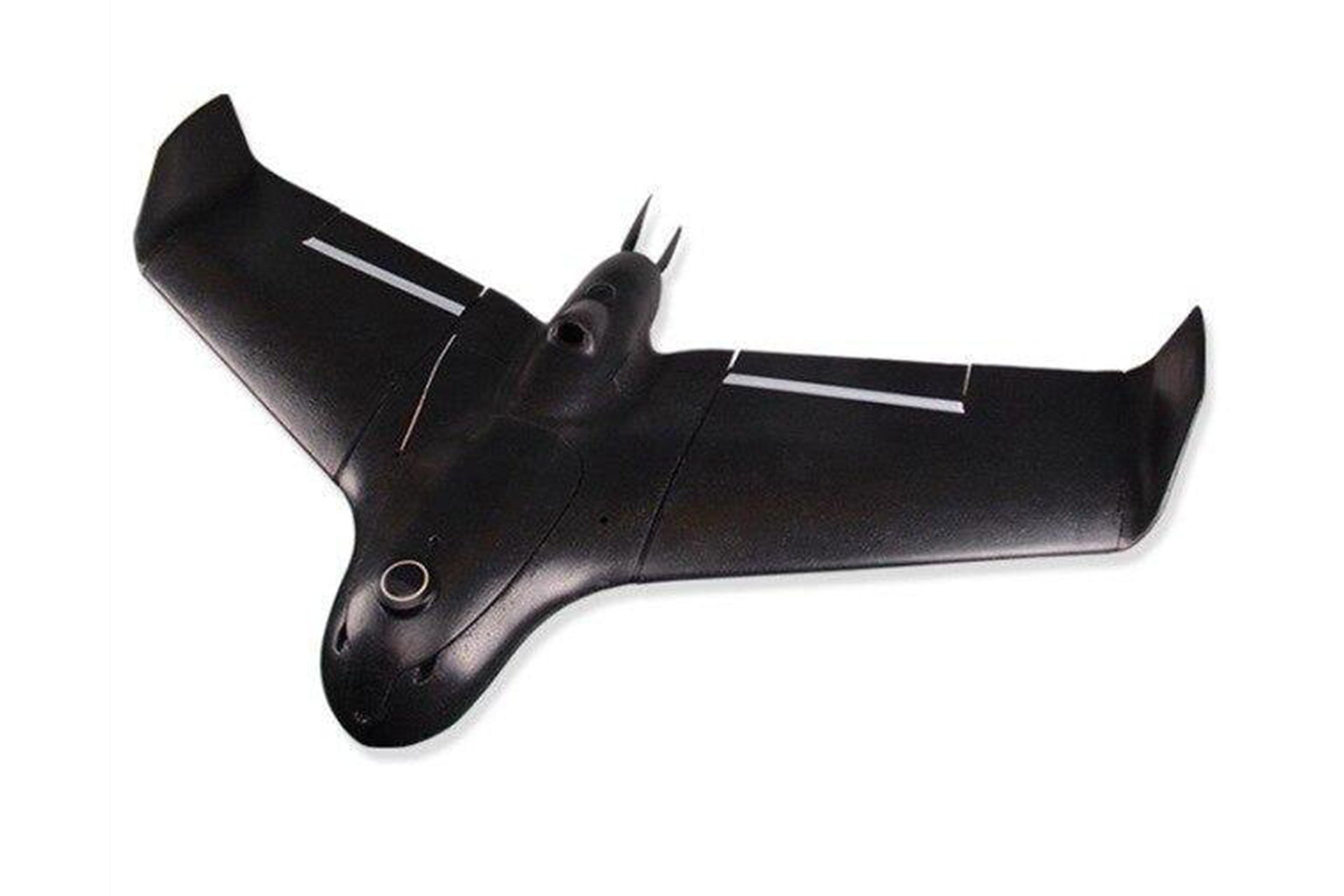
Fixed Wing Vtol Kits
Skywalker X5 Pro 1280mm Mapping Wing
The Skywalker X5 Pro is a 1280mm EPO flying wing purpose-built as an aerial mapping and survey platform.
₹52,990 + 18% GST
Fixed Wing Vtol Kits
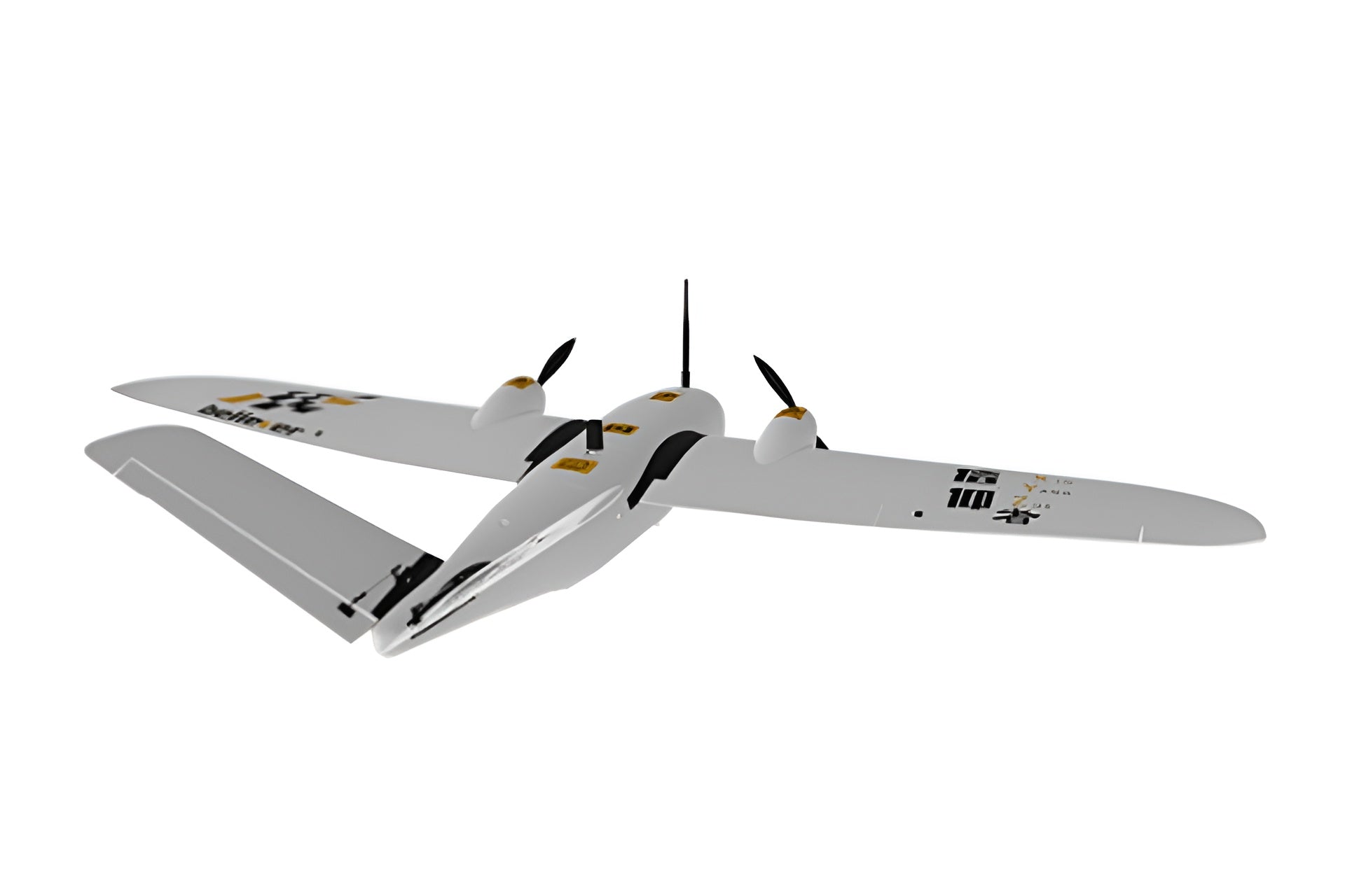
MFE Believer Long-Endurance Survey Kit
The MFE (MakeFlyEasy) Believer is a 1960mm twin-motor fixed-wing built for long-endurance aerial survey and mapping.
₹58,990 + 18% GST