Physical Terrain Maps
Physical Terrain / 3D Relief Model (custom)
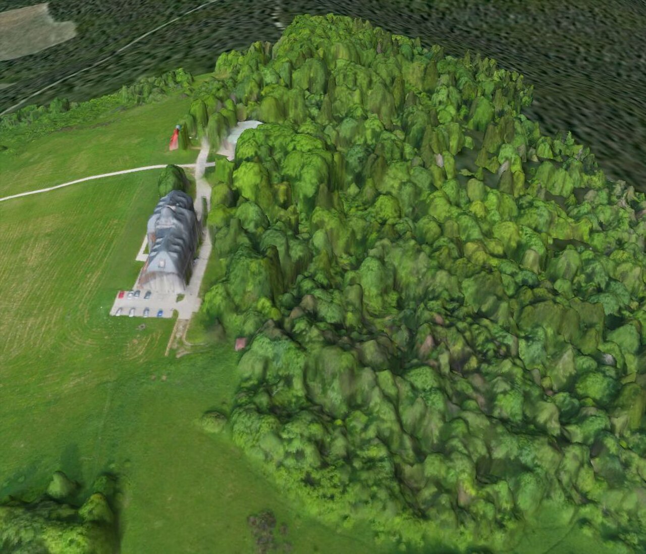
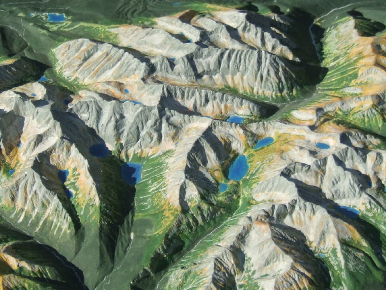
A Physical Terrain / 3D Relief Model is a custom, scaled-down physical replica of a real-world landscape, built from elevation data so that mountains, valleys, ridgelines, rivers, coastlines and built features are rendered as tangible, three-dimensional relief.
Price on request