Delivers the exact datasets your team uses: DTM, DSM, orthomosaic, contours, point cloud and 3D mesh, derived from a single survey.
Quote
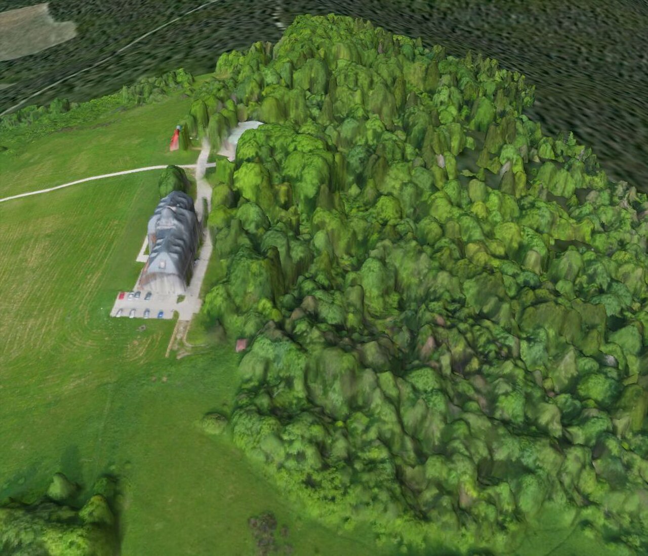
Digital Terrain Planning
Digital Terrain Planning Service
The Digital Terrain Planning Service turns real-world terrain into accurate, measurable digital datasets that planning, engineering and analysis teams can work with directly.
Price on request
SKU: BOTBIT-TAC-02 · Best for: Construction and earthworks grading, drainage design and cut-and-fill analysis
Overview
About Digital Terrain Planning Service.
The Digital Terrain Planning Service turns real-world terrain into accurate, measurable digital datasets that planning, engineering and analysis teams can work with directly. Using drone photogrammetry, LiDAR where required, and GIS processing, BotBit produces a geo-referenced digital model of your area of interest and derives the specific outputs your workflow needs, such as a Digital Terrain Model (DTM, bare-earth), a Digital Surface Model (DSM, including vegetation and structures), orthomosaic imagery, contour lines, point clouds and 3D meshes. These feed straight into CAD, GIS and BIM tools for design, measurement and decision-making.
The service typically starts with a survey flight or supplied imagery, followed by processing that stitches images, builds a dense point cloud, and generates the elevation surfaces and derived products. Deliverables are exported in the formats downstream software expects, for example GeoTIFF for orthomosaics and elevation rasters, LAS/LAZ for point clouds, DWG/DXF for contours, SHP for GIS, and OBJ/FBX/GLB for 3D models. Accuracy depends on the capture method and control used, so ground control points and RTK/PPK positioning are applied when survey-grade results are required.
This is built for a B2B audience across construction, infrastructure, mining, land development, utilities, environment and lawful defensive planning. A DTM isolates bare-earth terrain for grading, drainage and cut-and-fill; a DSM captures everything on the surface for line-of-sight, canopy and clash studies; orthomosaics and contours provide the base layers for design and documentation. Every engagement is quoted to the specific area, resolution, deliverables and accuracy class you need.
Key features
Why it stands out.
Exports in the formats your tools expect, including GeoTIFF, LAS/LAZ, DWG/DXF, SHP and OBJ/FBX/GLB for CAD, GIS and BIM.
Accuracy scaled to the job, with ground control points and RTK/PPK positioning applied when survey-grade results are required.
Photogrammetry and LiDAR options so vegetated, obscured or bare-earth areas are each captured with the right technique.
Supports measurement-driven decisions such as cut-and-fill, drainage, volumetrics and line-of-sight without repeat field visits.
Specifications
Selection facts.
| Deliverable | Digital terrain datasets & derived planning outputs |
|---|---|
| Core outputs | DTM, DSM, orthomosaic, contours, point cloud, 3D mesh |
| Capture methods | Drone photogrammetry; LiDAR where required |
| Positioning / control | Ground control points, RTK/PPK for survey-grade jobs |
| Export formats | GeoTIFF, LAS/LAZ, DWG/DXF, SHP, OBJ/FBX/GLB |
| Contour intervals | Set to terrain & project (e.g. 0.5 m, 1 m, 2 m) |
| Accuracy class | Scoped to requirement; varies by method & control |
| Lead time | Varies by area size, access and deliverables |
Applications
Where it is used.
- Construction and earthworks grading, drainage design and cut-and-fill analysis
- Highway, railway and infrastructure corridor survey and design base mapping
- Mining and quarry volumetrics, stockpile measurement and progress tracking
- Land development, site planning and municipal / GIS base-layer creation
- Environmental, watershed, flood and canopy studies using DTM/DSM
- Lawful defensive and disaster-planning terrain analysis and line-of-sight studies
Buying guide
How to choose.
To request a quote, send the boundary of your area of interest (KML, shapefile or a marked map), the deliverables you need (for example DTM, orthomosaic and 1 m contours), the resolution or accuracy class your design work requires, and the software formats you want to receive. If you already have raw drone imagery or a point cloud, BotBit can process that too; otherwise a survey flight can be planned, subject to site access and applicable drone regulations in India.
Choosing the right approach depends on ground cover and accuracy. Photogrammetry captures surfaces and imagery efficiently and suits open or built-up sites; LiDAR is preferred where dense vegetation obscures the bare earth needed for a clean DTM. If you need survey-grade coordinates for engineering, specify that so ground control points and RTK/PPK positioning are built into the plan, along with your target contour interval.
Tell BotBit how the data will be used downstream, whether in CAD, GIS or BIM, so exports and coordinate/reference systems match your pipeline. Note any deadlines, repeat-monitoring needs or restricted-area constraints. The service is quoted per project against area size, capture method, control, deliverables and accuracy, so you receive a scope and price fitted to your actual requirement rather than a fixed package.
FAQ
Common questions.
What is the difference between DTM and DSM?
A DTM (Digital Terrain Model) is the bare-earth surface with vegetation and structures removed, used for grading, drainage and cut-and-fill. A DSM (Digital Surface Model) includes everything on the surface, buildings, trees and other features, useful for line-of-sight, canopy and clash studies. BotBit can deliver either or both from one survey.
What formats will I receive?
Deliverables are exported to match your software: GeoTIFF for orthomosaics and elevation rasters, LAS/LAZ for point clouds, DWG/DXF for contours, SHP for GIS layers, and OBJ/FBX/GLB for 3D meshes. Tell BotBit your target tools and coordinate reference system and outputs are prepared to drop straight into your CAD, GIS or BIM workflow.
How accurate is the data?
Accuracy depends on capture method, flight parameters and the control used. For survey-grade results, ground control points and RTK/PPK positioning are applied. Accuracy is scoped to your requirement and confirmed during quoting rather than promised as a fixed figure, so the deliverable matches the tolerance your design or analysis actually needs.
Photogrammetry or LiDAR, which do I need?
Photogrammetry efficiently captures surface detail and imagery and suits open or built-up sites. LiDAR is preferred where dense vegetation hides the ground, because it helps recover the bare-earth points needed for a clean DTM. BotBit recommends the right method, or a combination, based on your terrain, cover and accuracy needs.
Can you process data I already have?
Yes. If you hold raw drone imagery or an existing point cloud, BotBit can process it into DTM, DSM, orthomosaic, contours or 3D meshes. If you have no data, a survey can be planned subject to site access and applicable drone rules in India. Either way, deliverables are tailored to your project.
How is this priced?
The service is quote-based, scoped to your area size, capture method, control, deliverables and accuracy class. Send your boundary, required outputs, accuracy and preferred formats, and BotBit returns a quote covering survey or data processing and delivery, so you pay for exactly the terrain products your project requires.
More in Terrain & Mapping Intelligence
Related hardware.
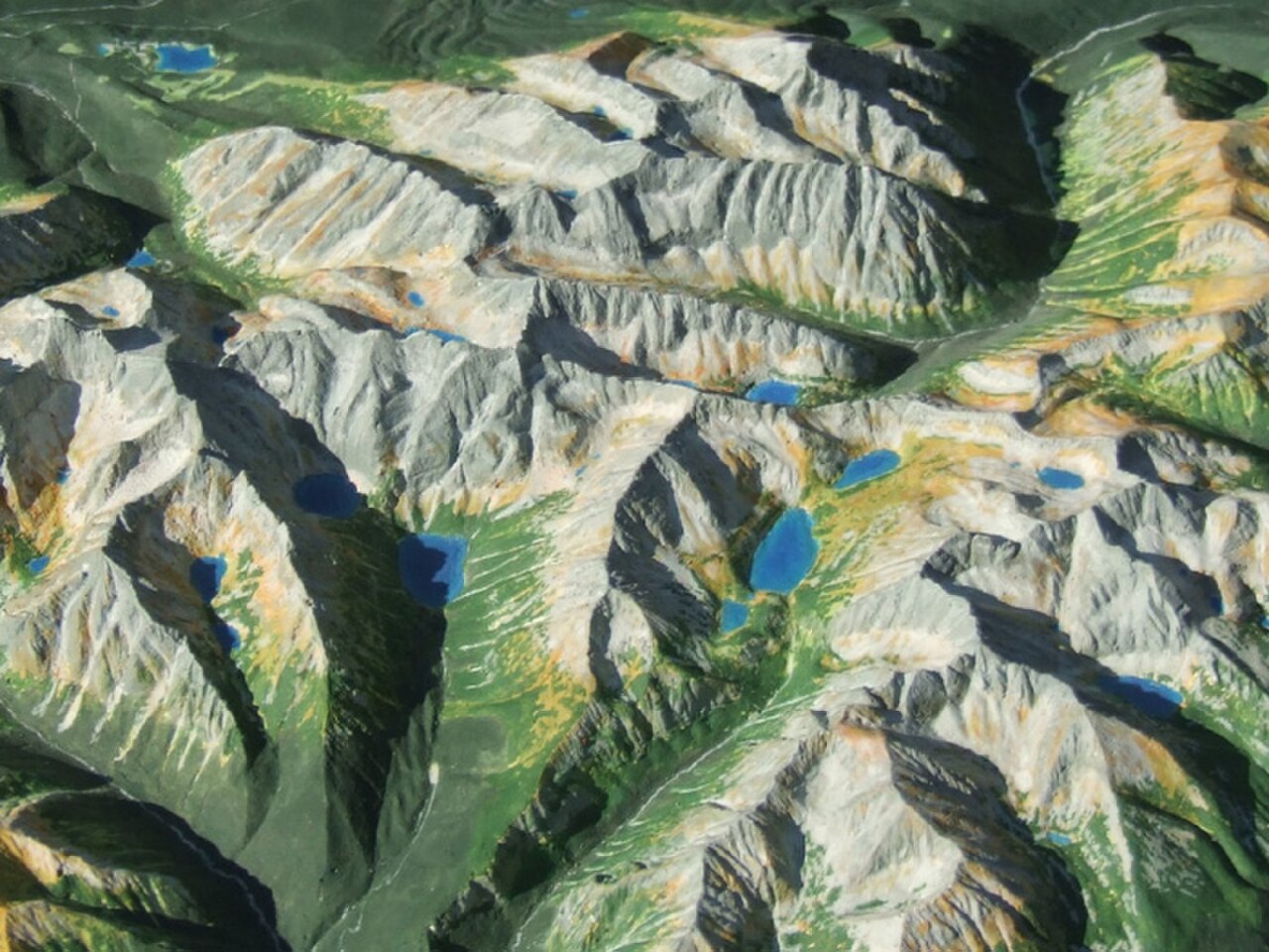
Physical Terrain Maps
Physical Terrain / 3D Relief Model (custom)
A Physical Terrain / 3D Relief Model is a custom, scaled-down physical replica of a real-world landscape, built from elevation data so that mountains, valleys, ridgelines, rivers, coastlines and built features are rendered as tangible, three-dimensional relief.
Price on request
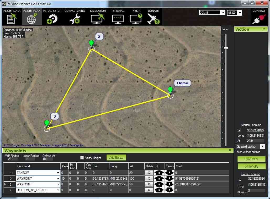
Planning Kits
Mission Visualization / Planning Kit
A Mission Visualization / Planning Kit is a curated set of physical and digital tools that helps a team lay out, discuss and rehearse an operation over an accurate representation of terrain.
Price on request