Turns any briefing into a shared, three-dimensional view so intent, routes and sequencing are obvious to the whole team.
Quote
Planning Kits
Mission Visualization / Planning Kit
A Mission Visualization / Planning Kit is a curated set of physical and digital tools that helps a team lay out, discuss and rehearse an operation over an accurate representation of terrain.
Price on request
SKU: BOTBIT-TAC-03 · Best for: Training academies and instructional briefings using a shared terrain board
Overview
About Mission Visualization / Planning Kit.
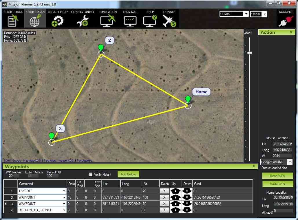
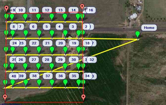
A Mission Visualization / Planning Kit is a curated set of physical and digital tools that helps a team lay out, discuss and rehearse an operation over an accurate representation of terrain. In its physical form it is a modern take on the classic sand table or terrain board: a portable base, terrain-shaping media or a printed / relief map of the area, and a set of markers, tokens, overlays and labels for routes, phases, assets and control measures. BotBit assembles kits to order for lawful industrial, civil, emergency-services and defensive planning, so a group can see the ground and their plan together rather than reading separate flat maps.
Kits can be paired with BotBit's digital terrain outputs and physical relief models, so the board reflects the real area of interest rather than a generic surface. A typical kit is specified around your use case: the base size and portability, whether the terrain is generic shapeable media or a site-specific relief insert, and the marker, overlay and legend set needed to represent your phases, routes and assets clearly. The aim is fast, repeatable set-up for briefings, coordination and after-action review.
These kits suit training academies, emergency-response and disaster-management teams, infrastructure and event planners coordinating movement across a site, and lawful defensive planning and briefing units. Because a shared three-dimensional view makes intent and sequencing obvious, planning kits improve coordination and understanding across roles. Every kit is quote-based and configured to your requirements, and BotBit keeps the content strictly to visualization and planning aids, with no operational or harmful instruction included.
Key features
Why it stands out.
Configurable contents: base size, shapeable terrain media or a site-specific relief insert, and a marker, token and overlay set matched to your planning language.
Pairs with BotBit digital terrain data and custom relief models so the board reflects your real area of interest, not a generic surface.
Portable and reusable for fast, repeatable set-up across briefings, coordination sessions and after-action reviews.
Supplied as a lawful planning and visualization aid, configured to your workflow with clear legends and labelling.
Specifications
Selection facts.
| Deliverable | Configured terrain visualization & planning kit |
|---|---|
| Kit basis | Portable base with terrain media or relief map insert |
| Terrain options | Generic shapeable media or site-specific relief |
| Planning components | Markers, tokens, overlays, labels, legends |
| Integrates with | BotBit digital terrain data & 3D relief models |
| Portability | Designed for transport, set-up and reuse |
| Customisation | Contents scoped to use case & planning language |
| Lead time | Varies by kit size and components |
Applications
Where it is used.
- Training academies and instructional briefings using a shared terrain board
- Emergency-response and disaster-management coordination and rehearsal
- Infrastructure, logistics and large-site movement and phasing planning
- Event and crowd-flow planning across a mapped venue or area
- Stakeholder and command briefings with route, phase and asset overlays
- After-action review and lawful defensive planning and mission rehearsal
Buying guide
How to choose.
To request a quote, describe how the kit will be used, how many people typically gather around it, and whether it needs to be portable or fixed. Tell BotBit whether you want generic shapeable terrain that can represent many scenarios, or a site-specific relief insert of a real area of interest, in which case share the boundary or existing terrain data so it can be produced from BotBit's terrain services.
Specify the planning language you use so the marker, token, overlay and legend set matches your phases, routes, assets and control measures. Consider durability and storage: kits intended for repeated training use benefit from robust components and a carry case, while briefing-room kits can prioritise clarity and presentation. If you already run digital planning tools, note them so the physical kit complements rather than duplicates them.
Because kits are assembled to order, pricing is quote-based and depends on base size, terrain type, component set and any integrated relief model or terrain data. Send your use case, group size, portability needs and preferred terrain option, and BotBit returns a configured proposal. All content is limited to lawful visualization and planning aids, with no operational or harmful instructions included.
FAQ
Common questions.
What is included in a planning kit?
A typical kit includes a portable base, terrain media or a map/relief insert of your area, and a set of markers, tokens, overlays, labels and legends for routes, phases and assets. Exact contents are configured to your use case and planning language, so the kit represents your scenarios clearly. Contents are agreed during quoting.
Can the kit show my specific area?
Yes. Instead of generic terrain, BotBit can produce a site-specific relief insert or printed map of your real area of interest using its digital terrain and relief-model services. Share the boundary or existing terrain data and the board can reflect the actual ground, making briefings and rehearsals directly relevant to your site.
Is this a physical or digital kit?
The core kit is physical, a modern sand table or terrain board with markers and overlays. It can be paired with BotBit's digital terrain outputs and 3D relief models so the physical board reflects real terrain. If you run digital planning software, tell BotBit so the kit complements your existing tools rather than duplicating them.
Who uses these kits?
Training academies, emergency-response and disaster-management teams, infrastructure and event planners, and lawful defensive planning and briefing units. Any group that benefits from a shared, three-dimensional view of terrain for coordinating routes, phases and assets, or for after-action review, is a good fit. Kits are configured to each use case.
Do kits include any operational instructions?
No. BotBit supplies kits strictly as lawful visualization and planning aids, hardware, terrain representation, markers, overlays and legends. They help a team lay out and discuss a plan over terrain. They do not include operational or harmful instructions, and all engagements are kept to lawful planning and training use.
How do I get a quote?
Describe your use case, typical group size, portability needs and whether you want generic or site-specific terrain, plus any area boundary or terrain data you hold. BotBit configures a kit and returns a quote covering the base, terrain, component set and any integrated relief model, since kits are made to order with no fixed catalogue price.
More in Terrain & Mapping Intelligence
Related hardware.
Physical Terrain Maps
Physical Terrain / 3D Relief Model (custom)
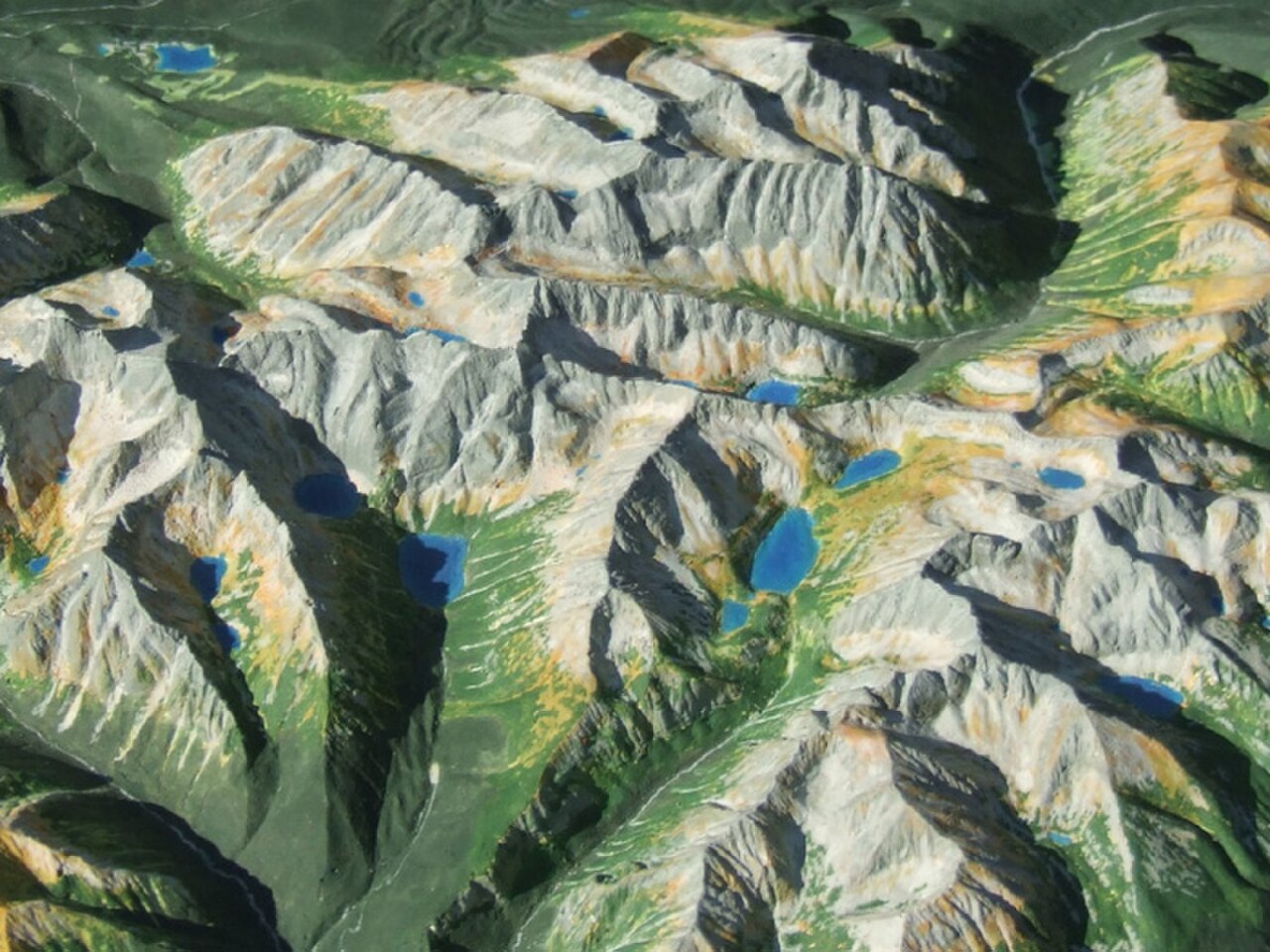
A Physical Terrain / 3D Relief Model is a custom, scaled-down physical replica of a real-world landscape, built from elevation data so that mountains, valleys, ridgelines, rivers, coastlines and built features are rendered as tangible, three-dimensional relief.
Price on request
Digital Terrain Planning
Digital Terrain Planning Service
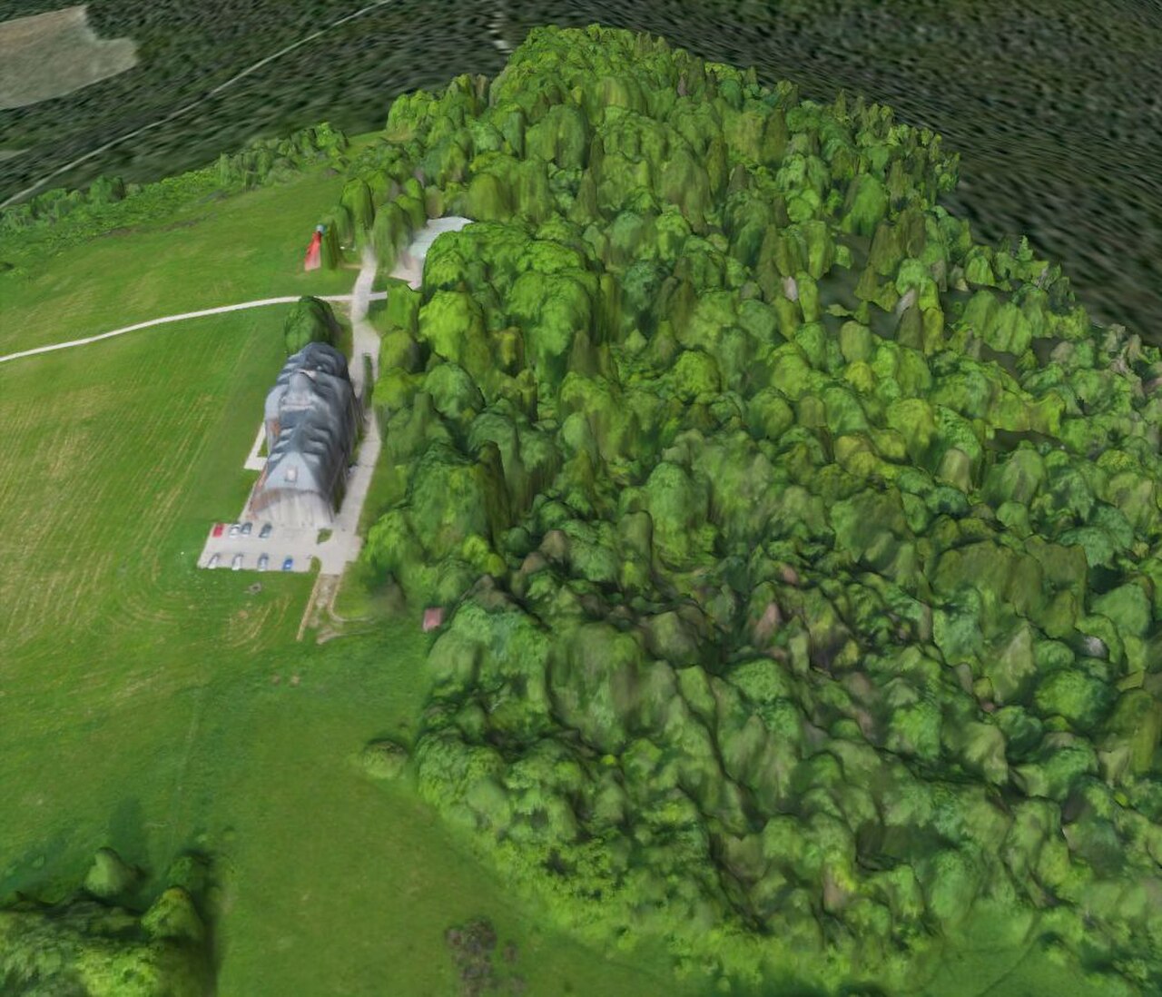
The Digital Terrain Planning Service turns real-world terrain into accurate, measurable digital datasets that planning, engineering and analysis teams can work with directly.
Price on request