Built from your own elevation data (DEM, LiDAR, GIS or CAD), so the relief accurately reflects the real area of interest at the scale you specify.
Quote
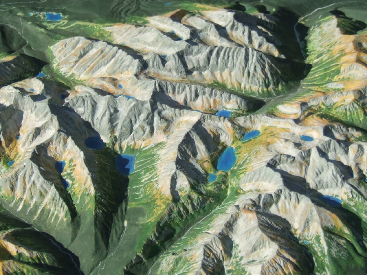
Physical Terrain Maps
Physical Terrain / 3D Relief Model (custom)
A Physical Terrain / 3D Relief Model is a custom, scaled-down physical replica of a real-world landscape, built from elevation data so that mountains, valleys, ridgelines, rivers, coastlines and built features are rendered as tangible, three-dimensional relief.
Price on request
SKU: BOTBIT-TAC-01 · Best for: Infrastructure, highway and railway route studies and public consultation displays
Overview
About Physical Terrain / 3D Relief Model (custom).
A Physical Terrain / 3D Relief Model is a custom, scaled-down physical replica of a real-world landscape, built from elevation data so that mountains, valleys, ridgelines, rivers, coastlines and built features are rendered as tangible, three-dimensional relief. BotBit fabricates these models to order for lawful industrial, civil, academic and defensive planning use. The workflow begins with a Digital Elevation Model (DEM) or equivalent terrain data for your area of interest; that data is converted into a clean, watertight mesh, scaled to the physical size you need, and then produced using the fabrication method best suited to the job, typically FDM or resin 3D printing for fine detail, or CNC machining of foam, wood or composite for larger panels.
Once the base relief is produced, the surface can be finished with colour treatments, contour shading, printed map overlays, labelling of key features, roads and water bodies, and protective sealed or UV-resistant coatings for long-term display. Larger installations are sectioned into panels for shipping and assembled on site, and models can be mounted on a table, wall, pedestal or freestanding base with optional protective covers. The result is a durable, briefing-ready object that lets a whole team read terrain at a glance rather than interpreting a flat map.
These models are used by planning departments, infrastructure and mining teams, watershed and disaster-management agencies, universities, museums and visitor centres, and enterprise or emergency-services training units. Because terrain is understood far more intuitively in three dimensions, a relief model supports route studies, land-use discussions, stakeholder briefings and training in a way flat maps cannot. Every BotBit model is quote-based: scope, scale, area size, detail level and finish are agreed up front before fabrication.
Key features
Why it stands out.
Choice of fabrication method (FDM/resin 3D printing or CNC-machined foam, wood or composite) matched to the detail, size and durability the project needs.
Custom finishing including contour shading, colour treatments, printed map overlays, feature labelling and sealed UV-resistant coatings for long-term display.
Scalable from desktop briefing models to large multi-panel wall or floor installations, sectioned for safe shipping and on-site assembly.
Makes terrain instantly readable for whole-team planning, stakeholder briefings and training, delivered as a robust, presentation-ready physical asset.
Specifications
Selection facts.
| Deliverable | Custom scaled physical 3D relief / terrain model |
|---|---|
| Fabrication methods | FDM & resin 3D printing, CNC machining |
| Typical materials | PLA/PETG/resin, HD foam, wood, composite |
| Data inputs accepted | DEM, LiDAR, GIS layers, CAD, GeoTIFF, shapefiles |
| Scale | Set to project; from desktop to multi-panel |
| Finishing options | Contour shading, colour, map overlays, labelling, sealed coatings |
| Mounting | Tabletop, wall, pedestal, freestanding, optional covers |
| Lead time | Varies by area size, detail and finish |
Applications
Where it is used.
- Infrastructure, highway and railway route studies and public consultation displays
- Mining, quarry and watershed planning where cut, drainage and catchment must be understood in relief
- Urban and land-use planning briefings for municipal and development authorities
- University, research and museum / visitor-centre educational exhibits
- Disaster-management and emergency-services training and coordination boards
- Enterprise and security training aids for lawful mission rehearsal and briefing
Buying guide
How to choose.
To request a quote, send the geographic area you want modelled (a boundary polygon, coordinates, KML/shapefile or a marked map), the approximate finished physical size or the scale you have in mind, and where the model will live (tabletop briefing room, lobby wall, training hall). If you already hold terrain data such as a DEM, LiDAR point cloud or GIS layers, share it; if not, BotBit can advise on sourcing suitable open or commissioned elevation data for your region in India.
Choosing the right build comes down to a trade-off between detail, size, durability and budget. Fine-detail, smaller models suit 3D printing, while large or heavy-use panels are better CNC-machined in foam, wood or composite. Vertical exaggeration is often applied so that gentle relief reads clearly at model scale, and finishing (labels, colour, overlays, protective covers) is chosen to match your audience and display environment.
Share any must-have features, timelines and whether the model will travel or stay fixed, so shipping-friendly sectioning and mounting can be planned. BotBit returns a digital proof for approval before fabrication begins, so you confirm scale, extent, styling and labelling up front. All work is quoted per project — there is no fixed catalogue price for a custom terrain model.
FAQ
Common questions.
What data do I need to provide?
Ideally a Digital Elevation Model (DEM), LiDAR point cloud, or GIS/CAD terrain data for your area, plus a boundary. If you only have a location, BotBit can advise on sourcing suitable elevation data. The clearer the input data and boundary, the more accurate and detailed the finished relief model will be.
What scale can you produce?
Scale is set to suit your project and display space, from compact desktop briefing models to large multi-panel wall or floor installations. Vertical exaggeration is often applied so gentle terrain reads clearly. Share your available space or preferred scale and BotBit will recommend the best fit during quoting.
Is this 3D printed or CNC machined?
Both methods are used, chosen per job. FDM and resin 3D printing suit fine detail and smaller models; CNC machining of foam, wood or composite suits larger panels and heavy-use models. The right method is selected to balance detail, size, durability and cost for your specific requirement.
Can you add roads, labels and colour?
Yes. Surfaces can carry contour shading, colour treatments, printed map overlays, water bodies, roads and labelled features. Protective sealed or UV-resistant coatings are available for long-term display. Styling is confirmed on a digital proof before fabrication so the finished model matches your intended audience and use.
How is a large model delivered?
Large installations are produced in sections that are shipped safely and assembled on site, with mounting options for tabletop, wall, pedestal or freestanding display. Optional acrylic or glass covers protect the surface. Delivery and installation support are scoped within the quote based on the model size and destination.
How do I get a price?
Terrain models are quote-based, not fixed-price. Send your area boundary, target size or scale, any terrain data you hold and where the model will be displayed. BotBit reviews the request and returns a quote covering data prep, fabrication method, finishing and delivery for your specific project.
More in Terrain & Mapping Intelligence
Related hardware.
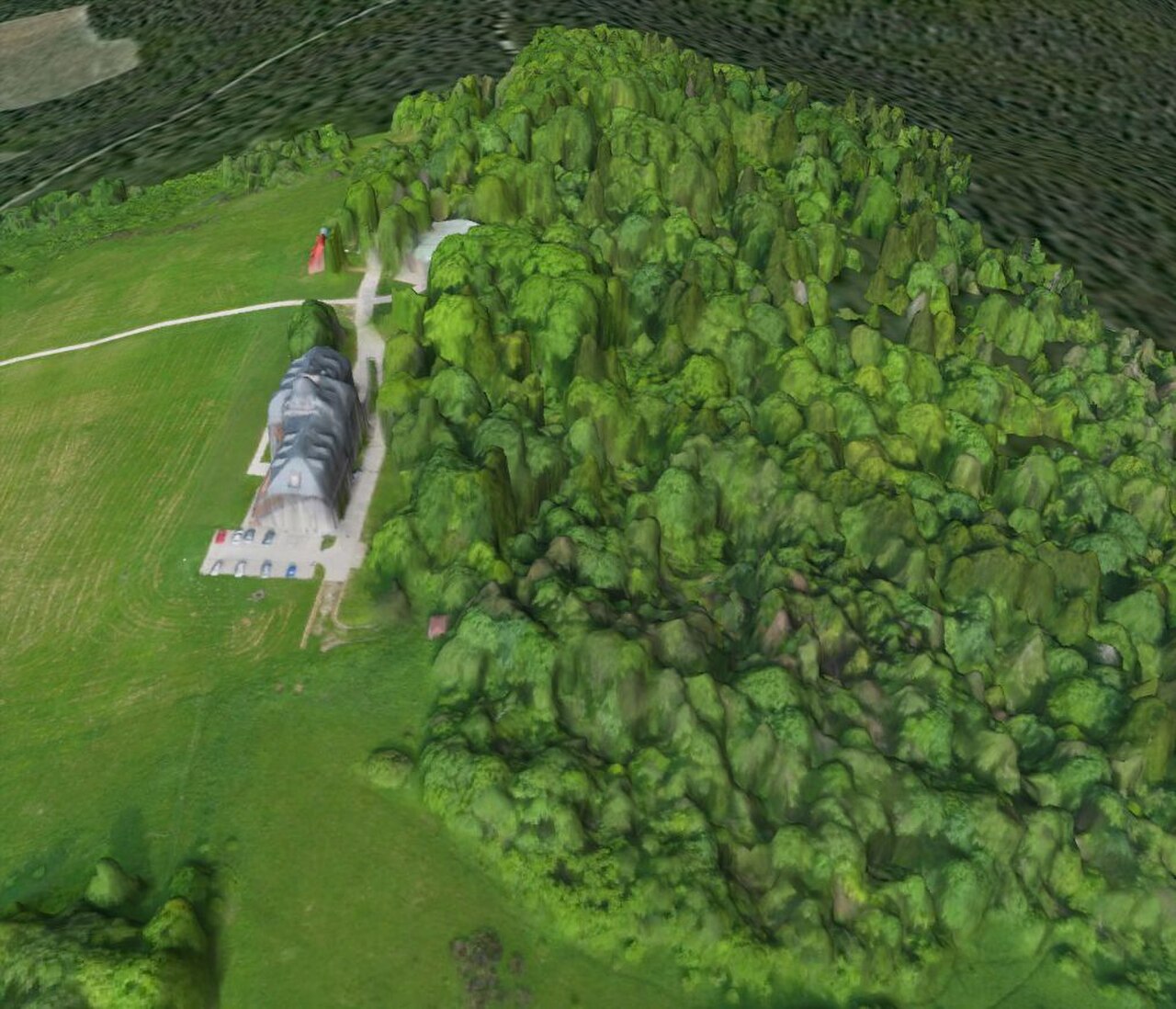
Digital Terrain Planning
Digital Terrain Planning Service
The Digital Terrain Planning Service turns real-world terrain into accurate, measurable digital datasets that planning, engineering and analysis teams can work with directly.
Price on request
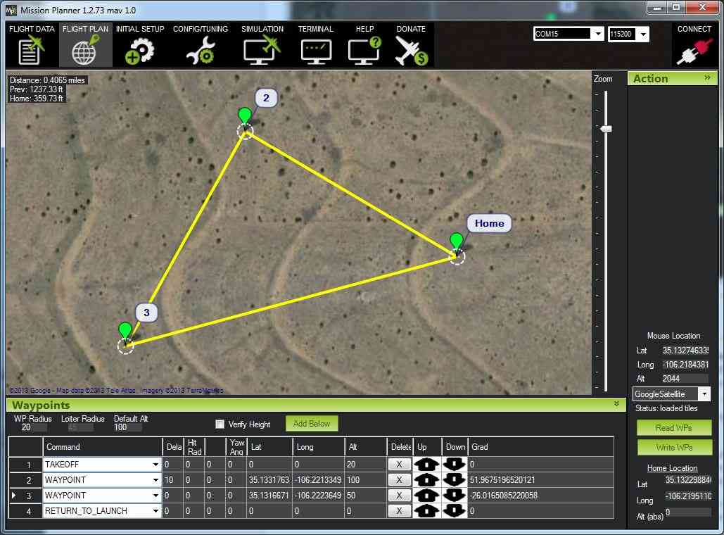
Planning Kits
Mission Visualization / Planning Kit
A Mission Visualization / Planning Kit is a curated set of physical and digital tools that helps a team lay out, discuss and rehearse an operation over an accurate representation of terrain.
Price on request